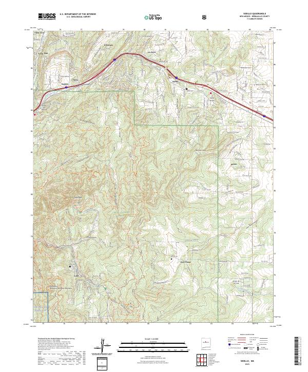
2023 Map of Sedillo
USGS Topo · Published 2023About this map
Tijeras Canyon and its associated arroyos carve through the rugged high-desert landscape of the Manzanita Mountains in this recent survey. The terrain is dominated by the Cibola National Forest, where steep drainages like Gutierrez Canyon and Chamisoso Canyon define the area's geography. Small, scattered communities such as Sedillo, Juan Tomas, and Cedro are connected by a network of local roads and state routes, including NM 337 and NM 333, which parallel the major corridor of I-40. Cultural landmarks like the Sedillo Cem and Juan Tomas Cem provide valuable points of reference for genealogists, while the southwestern corner of the map reaches the boundary of Kirtland Air Force Base. The prominent Cedro Peak stands as a central landmark amidst a landscape shaped by narrow canyons and expansive forest boundaries.
Find a feature on this map
38 named features on this map. Tap any name to fly to it.
Don’t see what you’re looking for? This feature index may not catch every label — zoom into the map to look around manually.
Map Details
Editions of this 2023 Sedillo Map
This is the sole edition of this map. No revisions or reprints were ever made.
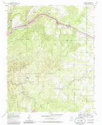
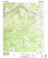
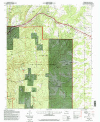
Historical Maps of Zamora Through Time
4 maps found