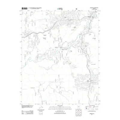
2011 Map of Sedona
USGS Topo · Published 2011About this map
Sedona and its surroundings are defined by the winding course of Oak Creek, which cuts through a landscape of named mesas, buttes, and canyons. The 2011 survey shows the urban development of West Sedona and Big Park alongside significant natural landmarks like Cathedral Rock and Bell Rock. This era of the region’s history is marked by the prominence of the Sedona Airport atop Table Top Mountain, providing a literal centerpiece to the local topography.
Find a feature on this map
108 named features on this map. Tap any name to fly to it.
Don’t see what you’re looking for? This feature index may not catch every label — zoom into the map to look around manually.
Map Details
Editions of this 2011 Sedona Map
This is the sole edition of this map. No revisions or reprints were ever made.
Other maps of this area

1887 · Verde
USGS Topo · 1:250,000

1892 · Verde
USGS Topo · 1:250,000

1923 · Camp Verde
USGS Topo · 1:125,000

1932 · Camp Verde
USGS Topo · 1:125,000

1936 · Camp Verde
USGS Topo · 1:125,000

1954 · Holbrook
USGS Topo · 1:250,000

1957 · Holbrook
USGS Topo · 1:250,000

1958 · Holbrook
USGS Topo · 1:250,000

1960 · Holbrook
USGS Topo · 1:250,000
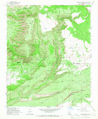
1965 · Munds Mountain
USGS Topo · 1:24,000