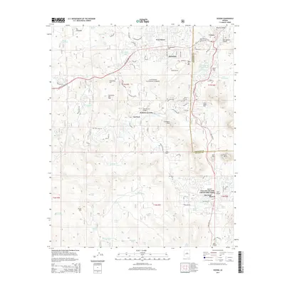
2014 Map of Sedona
USGS Topo · Published 2014About this map
Sedona and the Village of Oak Creek anchor this study of the red rock country within the Coconino National Forest. The landscape is defined by iconic geologic formations such as Cathedral Rock, Courthouse Butte, and Bell Rock, while the winding course of Oak Creek provides a perennial water source that has historically shaped local travel and settlement.
Find a feature on this map
65 named features on this map. Tap any name to fly to it.
Don’t see what you’re looking for? This feature index may not catch every label — zoom into the map to look around manually.
Map Details
Editions of this 2014 Sedona Map
This is the sole edition of this map. No revisions or reprints were ever made.
Other maps of this area

1887 · Verde
USGS Topo · 1:250,000

1892 · Verde
USGS Topo · 1:250,000

1923 · Camp Verde
USGS Topo · 1:125,000

1932 · Camp Verde
USGS Topo · 1:125,000

1936 · Camp Verde
USGS Topo · 1:125,000

1954 · Holbrook
USGS Topo · 1:250,000

1957 · Holbrook
USGS Topo · 1:250,000

1958 · Holbrook
USGS Topo · 1:250,000

1960 · Holbrook
USGS Topo · 1:250,000
1965 · Munds Mountain
USGS Topo · 1:24,000