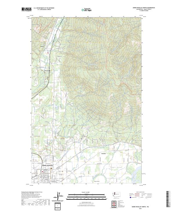
2023 Map of Sedro-Woolley North
USGS Topo · Published 2023About this map
Sedro-Woolley serves as the focal point of this Skagit Valley study, where the city grid meets the agricultural and forest lands of the north. The landscape is defined by the transition from the Skagit Valley floor to the rising slopes of Anderson Mtn and Lyman Hill. Notable historical and institutional landmarks include the Old Northern State Hospital and its associated Northern State Hospital Cem, situated near the base of Goat Hill. The area's water network is intricately mapped, featuring the Samish River and several distinct bodies of water such as Cranberry Lake and the aptly named Bottomless Lake. For those tracing the region's transport and recreation, the Pacific Northwest National Scenic Trl winds through the eastern uplands, while the southern margin follows the Skiyou Slough and the former industrial site at Cokedale.
Find a feature on this map
102 named features on this map. Tap any name to fly to it.
Don’t see what you’re looking for? This feature index may not catch every label — zoom into the map to look around manually.
Map Details
Editions of this 2023 Sedro-Woolley North Map
This is the sole edition of this map. No revisions or reprints were ever made.
Other maps of this area

1911 · Mount Vernon
USGS Topo · 1:125,000

1918 · Samish Lake
USGS Topo · 1:62,500

1921 · Wickersham
USGS Topo · 1:62,500

1940 · Mt Vernon
USGS Topo · 1:62,500

1943 · Mt Vernon
USGS Topo · 1:62,500

1944 · Clear Lake
USGS Topo · 1:62,500

1951 · Wickersham
USGS Topo · 1:62,500

1952 · Lake Whatcom
USGS Topo · 1:24,000

1952 · Alger
USGS Topo · 1:24,000

1954 · Samish Lake
USGS Topo · 1:62,500