
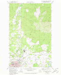
1981 Map of Sedro-Woolley North
USGS Topo · Published 1994About this map
Skagit Valley dominates this 1980s landscape, where the confluence of the Skagit Wild and Scenic River and its various sloughs meets the rising slopes of Lyman Hill and Anderson Mountain. The city of Sedro-Woolley is shown at the valley floor, serving as a hub for the surrounding timber and agricultural lands. North of the city, the extensive grounds of the Northern State Multi-Service Center and the Upper Skagit Indian Reservation sit at the base of the foothills.
Find a feature on this map
57 named features on this map. Tap any name to fly to it.
Don’t see what you’re looking for? This feature index may not catch every label — zoom into the map to look around manually.
Map Details
Editions of this 1981 Sedro-Woolley North Map
2 editions found
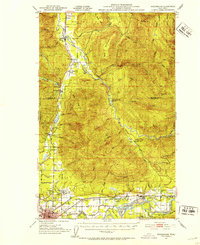
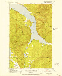
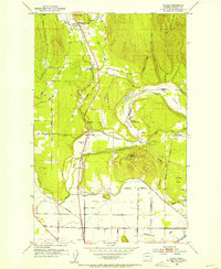
Other maps of this area

1911 · Mount Vernon
USGS Topo · 1:125,000

1918 · Samish Lake
USGS Topo · 1:62,500

1921 · Wickersham
USGS Topo · 1:62,500

1940 · Mt Vernon
USGS Topo · 1:62,500

1943 · Mt Vernon
USGS Topo · 1:62,500

1944 · Clear Lake
USGS Topo · 1:62,500
1951 · Wickersham
USGS Topo · 1:62,500
1952 · Lake Whatcom
USGS Topo · 1:24,000
1952 · Alger
USGS Topo · 1:24,000

1954 · Samish Lake
USGS Topo · 1:62,500