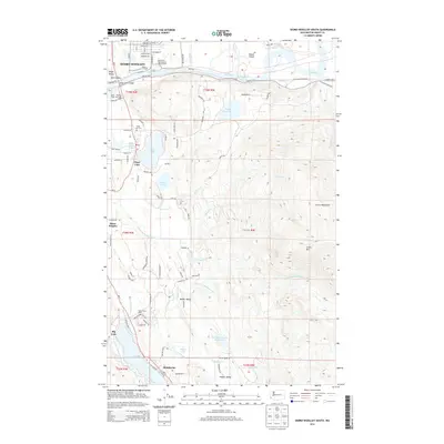
2014 Map of Sedro-Woolley South
USGS Topo · Published 2014About this map
The Skagit River flows prominently across the northern portion of this landscape, separating the city of Sedro-Woolley from the rising terrain of the Cultus Mountains to the south. This 2014 survey documents the dense network of rural roads and residential development concentrated along the valley floor, specifically around the water bodies of Clear Lake and Big Lake. The transition from the urban grid of Sedro-Woolley, featuring the Skagit River Bridge, to the industrial and agricultural character of Valley View Dairy and Walker Valley is clearly visible. Genealogists and local historians can locate the Clear Lake Cem and several small settlements including Montborne and Baker Heights, while topographic details show the significant elevation changes toward Cultus Mtn and the strategic positioning of the Judy Reservoir.
Find a feature on this map
98 named features on this map. Tap any name to fly to it.
Don’t see what you’re looking for? This feature index may not catch every label — zoom into the map to look around manually.
Map Details
Editions of this 2014 Sedro-Woolley South Map
This is the sole edition of this map. No revisions or reprints were ever made.
Other maps of this area

1911 · Mount Vernon
USGS Topo · 1:125,000

1918 · Samish Lake
USGS Topo · 1:62,500

1921 · Wickersham
USGS Topo · 1:62,500

1940 · Mt Vernon
USGS Topo · 1:62,500

1943 · Mt Vernon
USGS Topo · 1:62,500

1944 · Clear Lake
USGS Topo · 1:62,500

1951 · Wickersham
USGS Topo · 1:62,500

1952 · Alger
USGS Topo · 1:24,000

1954 · Samish Lake
USGS Topo · 1:62,500
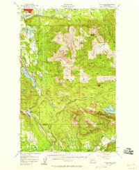
1956 · Clear Lake
USGS Topo · 1:62,500