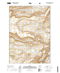
2020 Map of Seekseequa Junction
USGS Topo · Published 2020About this map
Seekseequa Junction sits at the heart of this Jefferson County landscape, where the high desert terrain is defined by prominent plateaus and canyons. To the south, the Crooked River National Grassland encompasses a portion of the map, meeting the shores of Lake Simtustus. The area's cultural history is marked by the presence of Seekseequa Cem 1 and Seekseequa Cem 2, located near the intersection of various BIA and Forest Service routes that crisscross the sagebrush flats.
Find a feature on this map
46 named features on this map. Tap any name to fly to it.
Don’t see what you’re looking for? This feature index may not catch every label — zoom into the map to look around manually.
Map Details
Editions of this 2020 Seekseequa Junction Map
This is the sole edition of this map. No revisions or reprints were ever made.
Other maps of this area

1928 · Madras
USGS Topo · 1:125,000

1931 · Madras
USGS Topo · 1:125,000

1955 · Bend
USGS Topo · 1:250,000

1957 · Bend
USGS Topo · 1:250,000

1958 · Bend
USGS Topo · 1:250,000

1962 · Metolius Bench
USGS Topo · 1:24,000

1962 · Fly Creek
USGS Topo · 1:24,000

1962 · Eagle Butte
USGS Topo · 1:24,000
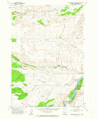
1962 · Seekseequa Junction
USGS Topo · 1:24,000
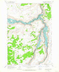
1962 · Round Butte Dam
USGS Topo · 1:24,000