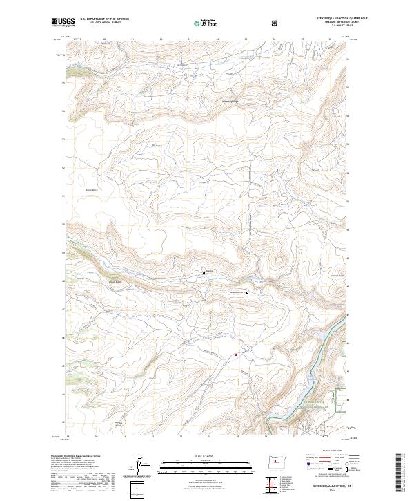
2024 Map of Seekseequa Junction
USGS Topo · Published 2024About this map
Warm Springs serves as the focal point of this Jefferson County landscape, situated amidst a high desert plateau defined by dramatic topographical shifts. The terrain is marked by prominent landforms such as Tenino Bench and Metolius Bench, which rise above the drainages of Tenino Creek and Seekseequa Creek. These watercourses carve through the volcanic geology, leading toward the waters of Lake Simtustus in the southeast.
Find a feature on this map
47 named features on this map. Tap any name to fly to it.
Don’t see what you’re looking for? This feature index may not catch every label — zoom into the map to look around manually.
Map Details
Editions of this 2024 Seekseequa Junction Map
This is the sole edition of this map. No revisions or reprints were ever made.
Other maps of this area

1928 · Madras
USGS Topo · 1:125,000

1931 · Madras
USGS Topo · 1:125,000

1955 · Bend
USGS Topo · 1:250,000

1957 · Bend
USGS Topo · 1:250,000

1958 · Bend
USGS Topo · 1:250,000

1962 · Metolius Bench
USGS Topo · 1:24,000

1962 · Fly Creek
USGS Topo · 1:24,000

1962 · Eagle Butte
USGS Topo · 1:24,000
1962 · Seekseequa Junction
USGS Topo · 1:24,000
1962 · Round Butte Dam
USGS Topo · 1:24,000