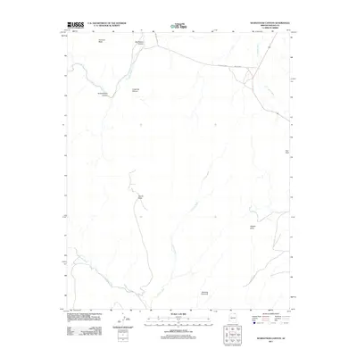
2011 Map of Segihatsosi Canyon
USGS Topo · Published 2011About this map
Standing Cow Arch anchors the southern portion of this high-desert landscape in Navajo County, where a complex network of ephemeral waterways defines the terrain. The drainage systems of Oljato Wash, Cutfoot Wash, and El Capitan Wash reveal a classic arid-region geomorphology, carving pathways between prominent elevations. Higher ground is represented by significant formations such as Azansosi Mesa and Tyende Mesa, while distinctive landmarks like Owl Rock and Segeke Butte provide essential navigational points in an area largely characterized by its natural features.
Find a feature on this map
16 named features on this map. Tap any name to fly to it.
Don’t see what you’re looking for? This feature index may not catch every label — zoom into the map to look around manually.
Map Details
Editions of this 2011 Segihatsosi Canyon Map
This is the sole edition of this map. No revisions or reprints were ever made.
Other maps of this area

1883 · Marsh Pass
USGS Topo · 1:250,000

1892 · Marsh Pass
USGS Topo · 1:250,000

1952 · Agathla Peak 1 NW
USGS Topo · 1:24,000

1952 · Agathla Peak 2 SW
USGS Topo · 1:24,000

1952 · Agathla Peak 2 NW
USGS Topo · 1:24,000

1952 · Boot Mesa
USGS Topo · 1:62,500

1952 · Agathla Peak 2 SE
USGS Topo · 1:24,000

1952 · Agathla Peak 2 NE
USGS Topo · 1:24,000

1952 · Agathla Peak
USGS Topo · 1:62,500

1952 · Agathla Peak 1 SW
USGS Topo · 1:24,000