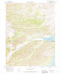
1967 Map of Sehorn Creek
USGS Topo · Published 1968About this map
Black Butte Reservoir dominates the eastern landscape of this 1960s survey, marking a significant hydrological shift at the boundary of Tehama Co and Glenn Co. The terrain is defined by a series of parallel drainages, including Sehorn Creek, Elmore Creek, and Burris Creek, which descend toward the basin of Stony Creek. For local historians and genealogists, the Elmore Cemetery situated in the northern hills near Elmore Hollow Road serves as a vital anchor to the area's early settlement history. The map also reveals an intricate network of primitive transportation routes, with numerous Jeep Trails and ranch roads like Newville Road and Butte Road winding through the hollows. These features, alongside the Gaging Sta on the North Fork Stony Creek, illustrate the region's focus on water management and land use during this era.
Find a feature on this map
22 named features on this map. Tap any name to fly to it.
Don’t see what you’re looking for? This feature index may not catch every label — zoom into the map to look around manually.
Map Details
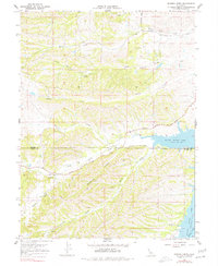
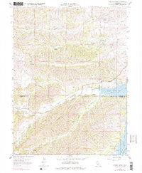
Editions of this 1967 Sehorn Creek Map
3 editions found
Other maps of this area

1904 · Walker Creek
USGS Topo · 1:31,680

1919 · Fruto
USGS Topo · 1:62,500

1919 · Elk Creek
USGS Topo · 1:62,500

1944 · Fruto
USGS Topo · 1:62,500

1944 · Flournoy
USGS Topo · 1:62,500

1948 · Elk Creek
USGS Topo · 1:62,500
1952 · Fruto NE
USGS Topo · 1:24,000

1952 · Paskenta
USGS Topo · 1:62,500

1957 · Elk Creek
USGS Topo · 1:62,500

1957 · Ukiah
USGS Topo · 1:250,000