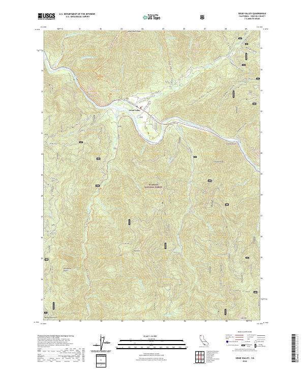
2022 Map of Seiad Valley
USGS Topo · Published 2022About this map
Seiad Valley sits at a critical junction in the northern reaches of the Klamath National Forest, where the Klamath Wild and Scenic River carves a deep path through the Klamath Mountains. The landscape is defined by its steep verticality, with massive features like Lower Devils Peak and Slinkard Peak rising sharply above the river valley. A significant stretch of the Pacific Crest National Scenic Trl traverses the area, winding from the Marble Mountains in the south, across Grider Ridge, and down toward the valley floor before climbing back toward Johnny O'Neil Ridge. This network of ridgelines and creek drainages, including Grider Cr and Seiad Cr, illustrates a terrain where access is dictated by the narrow river corridor and established forest trails. The proximity of Limestone Bluffs and Granite Point highlights the varied geologic formations that have shaped this remote section of Siskiyou County.
Find a feature on this map
55 named features on this map. Tap any name to fly to it.
Don’t see what you’re looking for? This feature index may not catch every label — zoom into the map to look around manually.
Map Details
Editions of this 2022 Seiad Valley Map
This is the sole edition of this map. No revisions or reprints were ever made.
Other maps of this area

1914 · Seiad
USGS Topo · 1:125,000

1922 · Seiad
USGS Topo · 1:125,000

1948 · Weed
USGS Topo · 1:250,000

1950 · Weed
USGS Topo · 1:250,000

1955 · Seiad Valley
USGS Topo · 1:62,500

1955 · Ukonom Lake
USGS Topo · 1:62,500

1955 · Scott Bar
USGS Topo · 1:62,500

1956 · Happy Camp
USGS Topo · 1:62,500

1958 · Weed
USGS Topo · 1:250,000

1963 · Weed
USGS Topo · 1:250,000