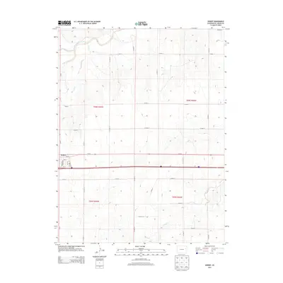
2013 Map of Seibert
USGS Topo · Published 2013About this map
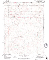
Seibert is the primary settlement on this eastern Colorado high plains landscape, situated south of the South Fork Republican River valley. The town layout is clearly defined by a grid of streets including Kansas Ave, Nebraska Ave, Ohio Rd, and Texas Ave, reflecting its regional connections. The northern portion of the quadrangle is dominated by the meandering path of the river, joined by tributaries such as Buffalo Creek and Sand Cr. This 2013 survey illustrates the agricultural character of Kit Carson County, where the land is partitioned by an extensive network of county roads like Co Road 19 and Co Road Z. To the south, drainage is marked by the winding course of Spring Cr, showing the subtle but vital topography of the plains watershed.
Find a feature on this map
34 named features on this map. Tap any name to fly to it.
Don’t see what you’re looking for? This feature index may not catch every label — zoom into the map to look around manually.
Map Details
Editions of this 2013 Seibert Map
This is the sole edition of this map. No revisions or reprints were ever made.
Other maps of this area

1954 · Limon
USGS Topo · 1:250,000

1957 · Limon
USGS Topo · 1:250,000

1958 · Limon
USGS Topo · 1:250,000

1979 · Vona
USGS Topo · 1:24,000

1979 · Seibert NE
USGS Topo · 1:24,000
1979 · Alpine Ranch NW
USGS Topo · 1:24,000

1979 · Stratton 3 NE
USGS Topo · 1:24,000
1979 · Seibert NW
USGS Topo · 1:24,000
1979 · Stratton NW
USGS Topo · 1:24,000
1979 · South of Flagler Reservoir
USGS Topo · 1:24,000