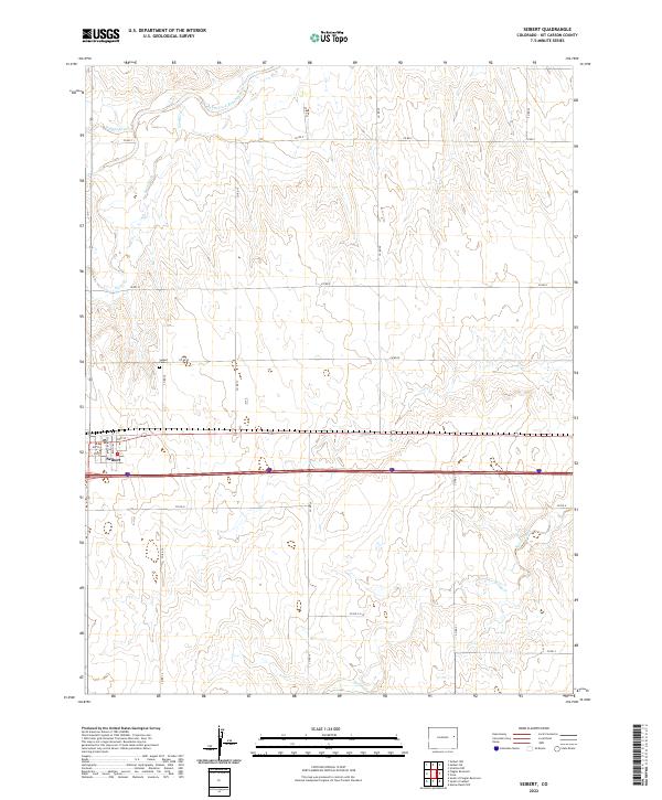
2022 Map of Seibert
USGS Topo · Published 2022About this map
Seibert serves as the primary hub of this high plains landscape, situated where local thoroughfares like Colorado Ave and Ohio Ave intersect the region's main transit corridors. The settlement's layout is defined by a grid of streets including 1st St through 4th St, reflecting a traditional agricultural town plan centered on the railroad and highway. North of the town center, the Seibert Cem provides a point of genealogical interest for those tracing early settlers of Kit Carson County.
Find a feature on this map
30 named features on this map. Tap any name to fly to it.
Don’t see what you’re looking for? This feature index may not catch every label — zoom into the map to look around manually.
Map Details
Editions of this 2022 Seibert Map
This is the sole edition of this map. No revisions or reprints were ever made.
Other maps of this area

1954 · Limon
USGS Topo · 1:250,000

1957 · Limon
USGS Topo · 1:250,000

1958 · Limon
USGS Topo · 1:250,000

1979 · Vona
USGS Topo · 1:24,000

1979 · Seibert NE
USGS Topo · 1:24,000
1979 · Alpine Ranch NW
USGS Topo · 1:24,000

1979 · Stratton 3 NE
USGS Topo · 1:24,000
1979 · Seibert NW
USGS Topo · 1:24,000
1979 · Stratton NW
USGS Topo · 1:24,000
1979 · South of Flagler Reservoir
USGS Topo · 1:24,000