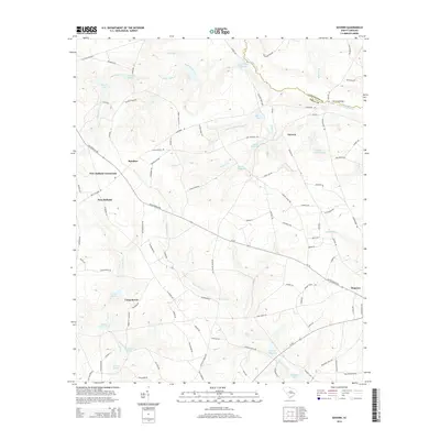
2014 Map of Seivern
USGS Topo · Published 2014About this map
Wagener anchors the southeastern corner of this Aiken County survey, where the historic Old 96 Indian Trl cuts across a landscape defined by the drainage systems of the N Fork Edisto River. The map reveals a high concentration of water management features, including several named millponds like Chalk Hill Millpond, Rawls Millpond, and Gunters Millpond, indicating a long-standing reliance on local creek systems such as Juniper Cr and Dean-Swamp Cr.
Find a feature on this map
110 named features on this map. Tap any name to fly to it.
Don’t see what you’re looking for? This feature index may not catch every label — zoom into the map to look around manually.
Map Details
Editions of this 2014 Seivern Map
This is the sole edition of this map. No revisions or reprints were ever made.
Other maps of this area

1920 · Aiken
USGS Topo · 1:48,000

1921 · Aiken
USGS Topo · 1:62,500

1943 · Aiken
USGS Topo · 1:62,500

1944 · Gilbert
USGS Topo · 1:62,500

1944 · Seivern
USGS Topo · 1:62,500

1954 · Augusta
USGS Topo · 1:250,000

1957 · Augusta
USGS Topo · 1:250,000

1958 · Augusta
USGS Topo · 1:250,000

1961 · Augusta
USGS Topo · 1:250,000

1962 · Augusta
USGS Topo · 1:250,000