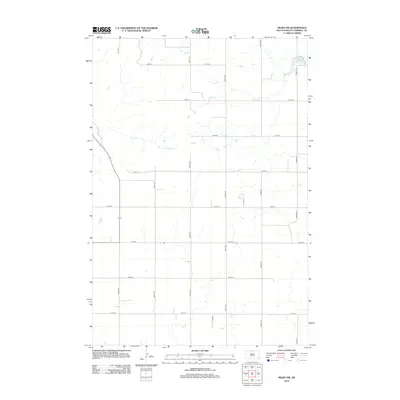
2012 Map of Selby NW
USGS Topo · Published 2012About this map
Lake Campbell anchors the northeastern corner of this Campbell County landscape, where the prairie is defined by a rigorous grid of section-line roads and seasonal drainages. The Lake Campbell basin serves as a rare natural landmark in an area dominated by agricultural surveying, with water moving through the low-lying reaches of Olson Cr and Locke Cr. This 2012 U.S. Geological Survey representation reflects the modern rural infrastructure of South Dakota, where named corridors like 300th Ave and 301st Ave facilitate movement across the open plains. A notable departure from the numbered grid is the inclusion of Tislo Pl, a specialized road segment near the southern boundary, and the path of Highway 1804, which cuts diagonally across the western sections, diverging from the cardinal directions of the surrounding township lines.
Find a feature on this map
19 named features on this map. Tap any name to fly to it.
Don’t see what you’re looking for? This feature index may not catch every label — zoom into the map to look around manually.
Map Details
Editions of this 2012 Selby NW Map
This is the sole edition of this map. No revisions or reprints were ever made.
Other maps of this area

1953 · McIntosh
USGS Topo · 1:250,000

1958 · McIntosh
USGS Topo · 1:250,000

1965 · Herreid SW
USGS Topo · 1:24,000

1965 · Herreid
USGS Topo · 1:24,000

1965 · Pollock SE
USGS Topo · 1:24,000

1967 · Glenham
USGS Topo · 1:24,000

1967 · Mound City
USGS Topo · 1:24,000

1967 · Selby SW
USGS Topo · 1:24,000

1967 · Selby
USGS Topo · 1:24,000

1967 · Mobridge NE
USGS Topo · 1:24,000