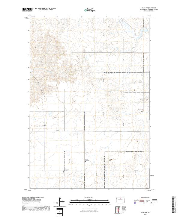
2021 Map of Selby NW
USGS Topo · Published 2021About this map
The rolling plains of Campbell County are defined by a sparse network of section-line roads and the quiet presence of early 21st-century prairie life. Established cultural anchors like the Norway Church and its adjacent Norway Cem stand near the center of the township, while the German Congregational Church and German Congregational Cem serve as important landmarks for genealogical research. These sites reflect the European immigrant settlement patterns that shaped the Dakotas. The landscape is seasonally drained by Olson Cr and Locke Cr, which cut subtle paths through the high plains. A rigid grid of thoroughfares, including 301st Ave and 115th St, provides access across the open terrain, connecting isolated homesteads and agrarian parcels in this corner of the state.
Find a feature on this map
24 named features on this map. Tap any name to fly to it.
Don’t see what you’re looking for? This feature index may not catch every label — zoom into the map to look around manually.
Map Details
Editions of this 2021 Selby NW Map
This is the sole edition of this map. No revisions or reprints were ever made.
Other maps of this area

1953 · McIntosh
USGS Topo · 1:250,000

1958 · McIntosh
USGS Topo · 1:250,000

1965 · Herreid SW
USGS Topo · 1:24,000

1965 · Herreid
USGS Topo · 1:24,000

1965 · Pollock SE
USGS Topo · 1:24,000

1967 · Glenham
USGS Topo · 1:24,000

1967 · Mound City
USGS Topo · 1:24,000

1967 · Selby SW
USGS Topo · 1:24,000

1967 · Selby
USGS Topo · 1:24,000

1967 · Mobridge NE
USGS Topo · 1:24,000