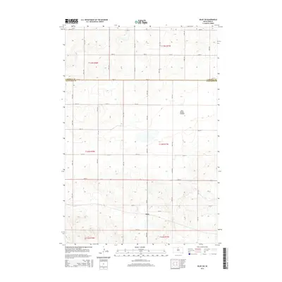
2015 Map of Selby SW
USGS Topo · Published 2015About this map
Sitka sits at the intersection of 300th Ave and 129th St in Walworth County, serving as a focal point in a vast prairie landscape defined by the Public Land Survey System grid. This 2015 U.S. Geological Survey topographic map illustrates the meticulous organization of rural South Dakota, where gravel roads like CR-323 and 128th St trace section lines across the Missouri Plateau. A significant geographical feature is the Blue Blanket Lakebed to the northeast, indicating a landscape where seasonal water and drainage patterns heavily influence land use and local identity. The map also delineates the jurisdictional boundary at Campbell Co Walworth Co, providing a clear record of administrative divisions amidst the agricultural sections of T124N and T125N.
Find a feature on this map
26 named features on this map. Tap any name to fly to it.
Don’t see what you’re looking for? This feature index may not catch every label — zoom into the map to look around manually.
Map Details
Editions of this 2015 Selby SW Map
This is the sole edition of this map. No revisions or reprints were ever made.
Other maps of this area

1953 · McIntosh
USGS Topo · 1:250,000

1958 · McIntosh
USGS Topo · 1:250,000

1967 · Glenham
USGS Topo · 1:24,000

1967 · Mound City
USGS Topo · 1:24,000

1967 · Selby SW
USGS Topo · 1:24,000

1967 · Selby
USGS Topo · 1:24,000

1967 · Mobridge NE
USGS Topo · 1:24,000

1967 · Selby NW
USGS Topo · 1:24,000

1968 · Moreau NE
USGS Topo · 1:24,000

1968 · Akaska NW
USGS Topo · 1:24,000