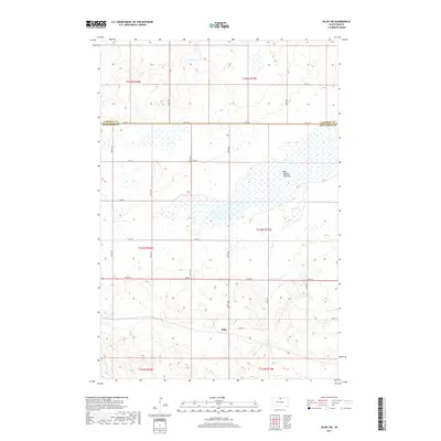
2017 Map of Selby SW
USGS Topo · Published 2017About this map
Sitka serves as the primary landmark in this section of the South Dakota plains, situated along the southern edge of a landscape defined by geometric section lines and expansive drainage basins. The northern portion of the map is dominated by the Blue Blanket Lakebed, a sprawling hydrological feature that underscores the seasonal and shifting nature of water in the Missouri River valley region. The terrain transitions from the high, flat plateaus in the south near Sitka to the broad, marshy depressions of the lakebed to the north.
Find a feature on this map
22 named features on this map. Tap any name to fly to it.
Don’t see what you’re looking for? This feature index may not catch every label — zoom into the map to look around manually.
Map Details
Editions of this 2017 Selby SW Map
This is the sole edition of this map. No revisions or reprints were ever made.
Other maps of this area

1953 · McIntosh
USGS Topo · 1:250,000

1958 · McIntosh
USGS Topo · 1:250,000

1967 · Glenham
USGS Topo · 1:24,000

1967 · Mound City
USGS Topo · 1:24,000

1967 · Selby SW
USGS Topo · 1:24,000

1967 · Selby
USGS Topo · 1:24,000

1967 · Mobridge NE
USGS Topo · 1:24,000

1967 · Selby NW
USGS Topo · 1:24,000

1968 · Moreau NE
USGS Topo · 1:24,000

1968 · Akaska NW
USGS Topo · 1:24,000