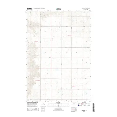
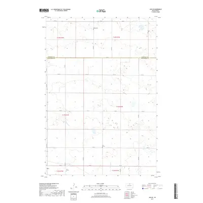
2021 Map of Selby SW
USGS Topo · Published 2021About this map
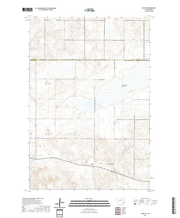
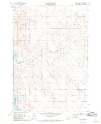
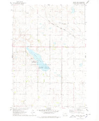
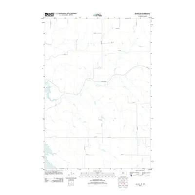
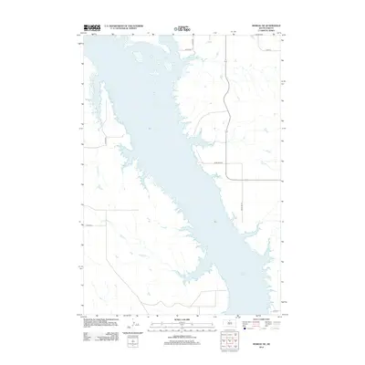
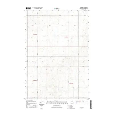
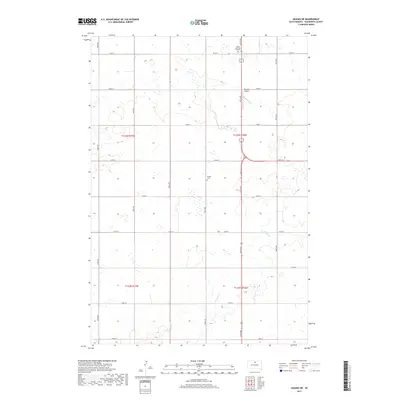
The small settlement of Sitka serves as the primary landmark in this rural section of the northern Great Plains, situated just south of the Campbell Co and Walworth Co border. The landscape is defined by the expansive Blue Blanket Lakebed, a sprawling wetland feature that dominates the eastern half of the region. This 2021 survey reveals a grid of rural section roads, including 120th St and 296th Ave, that segment the undulating terrain. The pattern of development follows this rectilinear network, emphasizing the agricultural character of the land between the townships of t124n r77w and t125n r78w. This map offers a modern look at a sparsely populated landscape where the hydrological legacy of the lakebed continues to shape land use and local geography.
Find a feature on this map
22 named features on this map. Tap any name to fly to it.
Don’t see what you’re looking for? This feature index may not catch every label — zoom into the map to look around manually.
Map Details
Editions of this 2021 Selby SW Map
This is the sole edition of this map. No revisions or reprints were ever made.
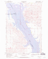
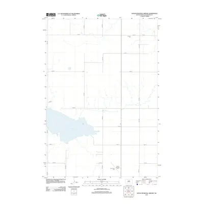
Historical Maps of Sitka Through Time
45 maps found
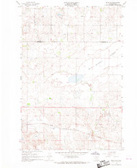
1967 Selby SW
Walworth County, SD
1968 Akaska NE
Walworth County, SD
1968 Akaska NW
Walworth County, SD
1968 Akaska SW
Walworth County, SD
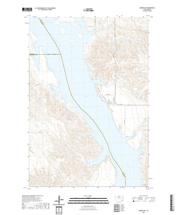
1968 Moreau NE
Walworth County, SD
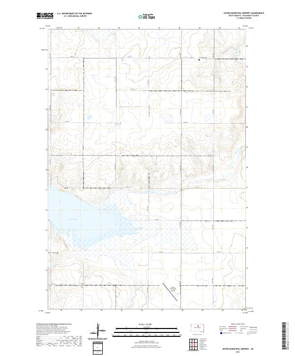
1974 Hoven Muni. Airport
Walworth County, SD
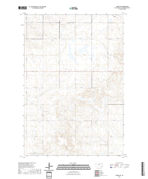
1974 Lowry NW
Walworth County, SD
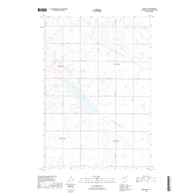
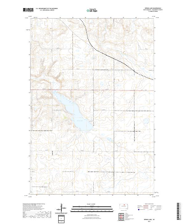
1974 Spring Lake
Walworth County, SD
1978 Java SE
Walworth County, SD
2012 Akaska NE
Walworth County, SD
2012 Akaska NW
Walworth County, SD
2012 Akaska SW
Walworth County, SD
2012 Hoven Municipal Airport
Walworth County, SD
2012 Java SE
Walworth County, SD
2012 Lowry NW
Walworth County, SD
2012 Moreau NE
Walworth County, SD
2012 Selby SW
Walworth County, SD
2012 Spring Lake
Walworth County, SD
2015 Akaska NE
Walworth County, SD
2015 Akaska NW
Walworth County, SD
2015 Akaska SW
Walworth County, SD
2015 Hoven Municipal Airport
Walworth County, SD
2015 Java SE
Walworth County, SD
2015 Lowry NW
Walworth County, SD
2015 Moreau NE
Walworth County, SD
2015 Selby SW
Walworth County, SD
2015 Spring Lake
Walworth County, SD
2017 Akaska NE
Walworth County, SD
2017 Akaska NW
Walworth County, SD
2017 Akaska SW
Walworth County, SD
2017 Hoven Municipal Airport
Walworth County, SD
2017 Java SE
Walworth County, SD
2017 Lowry NW
Walworth County, SD
2017 Moreau NE
Walworth County, SD
2017 Selby SW
Walworth County, SD
2017 Spring Lake
Walworth County, SD
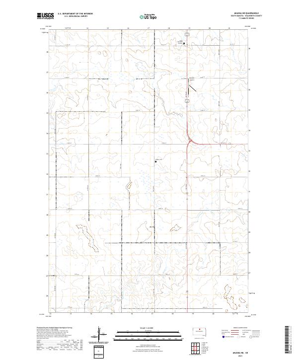
2021 Akaska NE
Walworth County, SD
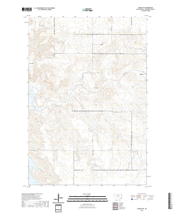
2021 Akaska NW
Walworth County, SD
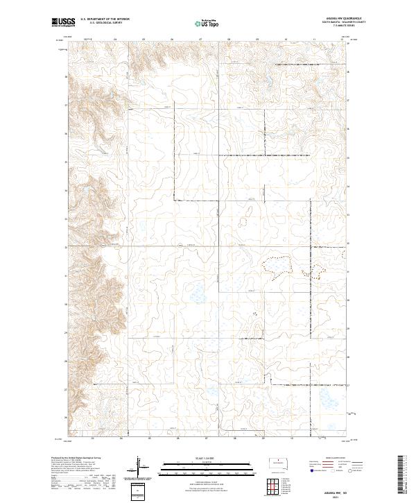
2021 Akaska SW
Walworth County, SD
2021 Hoven Municipal Airport
Walworth County, SD

2021 Java SE
Walworth County, SD
2021 Lowry NW
Walworth County, SD
2021 Moreau NE
Walworth County, SD
2021 Selby SW
Walworth County, SD
2021 Spring Lake
Walworth County, SD