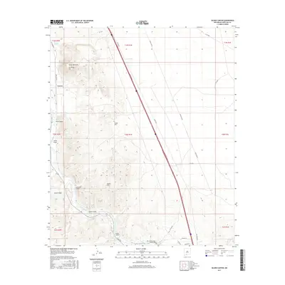
2017 Map of Selden Canyon
USGS Topo · Published 2017About this map
Tonuco stands at the northwestern edge of a landscape defined by the winding course of the Rio Grande as it cuts through the mountains of Doña Ana County. This 2017 survey details the complex topography of the Tonuco Mountains and San Diego Mtn, where numerous drainage features like Tonuco Draw and Horse Canyon descend toward the river valley. The corridor is a vital transit route, as evidenced by the modern Interstate 85 and older paths such as Kit Carson Rd and N Valley Dr. A significant landmark of engineering history is preserved at the Rio Grande Bridge Historic Site near the southern bend of the river. The map also captures the varied terrain of the Selden Hills and the dramatic narrowing of Selden Canyon, providing a clear view of how these landforms have dictated the placement of roads and settlements over time.
Find a feature on this map
36 named features on this map. Tap any name to fly to it.
Don’t see what you’re looking for? This feature index may not catch every label — zoom into the map to look around manually.
Map Details
Editions of this 2017 Selden Canyon Map
This is the sole edition of this map. No revisions or reprints were ever made.
Other maps of this area

1891 · Las Cruces
USGS Topo · 1:125,000

1893 · Las Cruces
USGS Topo · 1:125,000

1916 · Tonuco
USGS Topo · 1:125,000

1932 · Tonuco
USGS Topo · 1:125,000

1941 · Las Cruces
USGS Topo · 1:62,500

1943 · Corralitos Ranch
USGS Topo · 1:62,500

1943 · Las Cruces
USGS Topo · 1:62,500

1948 · San Diego Mountain
USGS Topo · 1:62,500

1955 · Las Cruces
USGS Topo · 1:250,000

1958 · Las Cruces
USGS Topo · 1:250,000