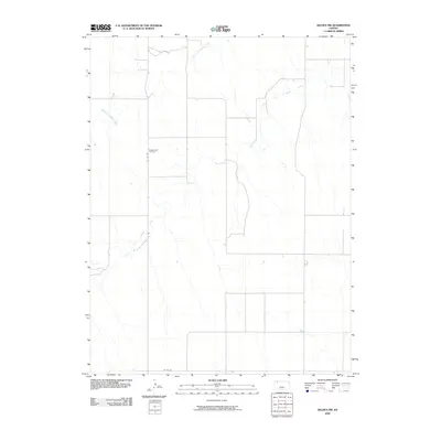
2009 Map of Selden NW
USGS Topo · Published 2009About this map
Bassettville Cemetery serves as a primary historical waypoint in this rural pocket of Northwest Kansas, providing a specific site for genealogical research within Rawlins County. The landscape is defined by the hydrologic divide and eventual convergence of the North Fork Sappa Creek and South Fork Sappa Creek, which meander through the prairie terrain in a series of incised loops. This 2009 survey by the U.S. Geological Survey documents the sparse but critical network of rural infrastructure, including Co RD 459 and Co RD 352. The arrangement of these section-line roads and watercourses illustrates the enduring agricultural layout of the High Plains, where settlement patterns are dictated by the proximity to reliable drainage basins and established county transit corridors.
Find a feature on this map
5 named features on this map. Tap any name to fly to it.
Don’t see what you’re looking for? This feature index may not catch every label — zoom into the map to look around manually.
Map Details
Editions of this 2009 Selden NW Map
This is the sole edition of this map. No revisions or reprints were ever made.
Other maps of this area

1951 · Selden
USGS Topo · 1:62,500

1951 · Herndon
USGS Topo · 1:62,500

1951 · Achilles
USGS Topo · 1:62,500

1951 · Oberlin
USGS Topo · 1:62,500

1954 · Goodland
USGS Topo · 1:250,000

1956 · Goodland
USGS Topo · 1:250,000

1957 · Goodland
USGS Topo · 1:250,000

1965 · Oberlin
USGS Topo · 1:24,000

1965 · Oberlin SW
USGS Topo · 1:24,000

1965 · Achilles
USGS Topo · 1:24,000