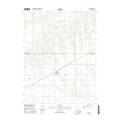
2015 Map of Selden
USGS Topo · Published 2015About this map
Selden serves as the primary hub in this High Plains region, situated along the county line between Decatur Co and Sheridan Co. The town's grid is clearly defined by residential streets like Nebraska Ave and Missouri Ave, with a centralized Po marking the local center of commerce and communication. This layout reflects the enduring structure of small-town Kansas, where the intersection of state highways and local roads dictates the pace of growth.
Find a feature on this map
32 named features on this map. Tap any name to fly to it.
Don’t see what you’re looking for? This feature index may not catch every label — zoom into the map to look around manually.
Map Details
Editions of this 2015 Selden Map
This is the sole edition of this map. No revisions or reprints were ever made.
Other maps of this area

1951 · Selden
USGS Topo · 1:62,500

1954 · Goodland
USGS Topo · 1:250,000

1956 · Goodland
USGS Topo · 1:250,000

1957 · Goodland
USGS Topo · 1:250,000

1965 · Selden NW
USGS Topo · 1:24,000
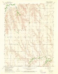
1965 · Selden NE
USGS Topo · 1:24,000
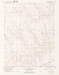
1978 · Dresden North
USGS Topo · 1:24,000

1978 · Selden
USGS Topo · 1:24,000

1978 · Selden SW
USGS Topo · 1:24,000

1978 · Dresden South
USGS Topo · 1:24,000