
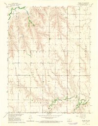
1978 Map of Selden SW
USGS Topo · Published 1979About this map
Cook Prairie and Wendell Prairie Dog define the upland terrain of this Northwest Kansas landscape in the late 1970s. The agricultural character of the region is punctuated by the North Fork Prairie Dog Creek and its namesake Prairie Dog Creek, which carve gentle drainage patterns across the high plains. Human activity is focused along the southern corridor, where the Chicago Rock Island and Pacific railroad tracks run adjacent to the small settlement of Laing.
Find a feature on this map
16 named features on this map. Tap any name to fly to it.
Don’t see what you’re looking for? This feature index may not catch every label — zoom into the map to look around manually.
Map Details
Editions of this 1978 Selden SW Map
This is the sole edition of this map. No revisions or reprints were ever made.
Other maps of this area

1951 · Selden
USGS Topo · 1:62,500

1951 · Achilles
USGS Topo · 1:62,500

1954 · Goodland
USGS Topo · 1:250,000

1956 · Goodland
USGS Topo · 1:250,000

1957 · Goodland
USGS Topo · 1:250,000

1965 · Achilles
USGS Topo · 1:24,000

1965 · Selden NW
USGS Topo · 1:24,000
1965 · Selden NE
USGS Topo · 1:24,000

1978 · Selden
USGS Topo · 1:24,000

1978 · Achilles SE
USGS Topo · 1:24,000