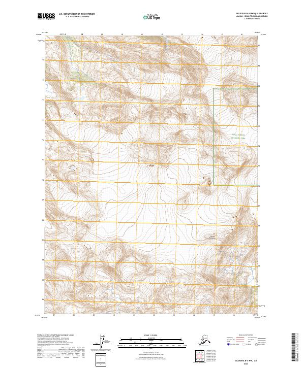
2024 Map of Seldovia B-3 NW
USGS Topo · Published 2024About this map
Kenai Wilderness (Andrew Simons Unit) dominates this section of the Kenai Mountains, where the landscape is defined by vast protected acreages and high-altitude terrain. The map captures a point of convergence for three major conservation areas, including the Kenai National Wildlife Refuge and Kenai Fjords National Park. The Wosnesenski River carves through the northern reaches of the quadrangle, illustrating the drainage patterns from the surrounding ice and rock. This 2024 edition provides a contemporary record of public land boundaries and glacial topography in a region where few permanent human settlements exist, focusing instead on the intersection of federal wildlife and wilderness management zones.
Find a feature on this map
9 named features on this map. Tap any name to fly to it.
Don’t see what you’re looking for? This feature index may not catch every label — zoom into the map to look around manually.
Map Details
Editions of this 2024 Seldovia B-3 NW Map
This is the sole edition of this map. No revisions or reprints were ever made.
Other maps of this area

1948 · Seldovia C-4
USGS Topo · 1:63,360

1949 · Seldovia C-4
USGS Topo · 1:62,500

1951 · Seldovia
USGS Topo · 1:250,000

1951 · Seldovia B-4
USGS Topo · 1:63,360

1951 · Seldovia B-3
USGS Topo · 1:63,360

1951 · Seldovia C-3
USGS Topo · 1:63,360

1952 · Seldovia B-3
USGS Topo · 1:63,360

1953 · Seldovia C-3
USGS Topo · 1:63,360

1953 · Seldovia B-4
USGS Topo · 1:63,360
1961 · Seldovia C-4
USGS Topo · 1:63,360