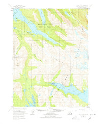
1951 Map of Seldovia B-4
USGS Topo · Published 1978About this map
The Kenai Mountains dominate this 1951 aerial survey, where steep peaks and deep glacial fjords define the landscape south of Homer. The topography is marked by intense industrial and maritime activity along the coast, most notably at the Chrome Mine near Red Mountain. Remote outposts and seasonal encampments such as San Juan and various Cabins dot the shoreline of Tutka Bay, providing a look at the early infrastructure of the Kachemak Bay State Park region before extensive modern development.
Find a feature on this map
39 named features on this map. Tap any name to fly to it.
Don’t see what you’re looking for? This feature index may not catch every label — zoom into the map to look around manually.
Map Details
Editions of this 1951 Seldovia B-4 Map
3 editions found
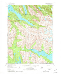
Other maps of this area

1946 · Seldovia C-5
USGS Topo · 1:63,360

1948 · Seldovia C-4
USGS Topo · 1:63,360

1949 · Seldovia C-4
USGS Topo · 1:62,500

1951 · Seldovia C-5
USGS Topo · 1:63,360

1951 · Seldovia
USGS Topo · 1:250,000

1951 · Seldovia B-5
USGS Topo · 1:63,360

1951 · Seldovia A-3
USGS Topo · 1:63,360

1951 · Seldovia B-4
USGS Topo · 1:63,360

1951 · Seldovia B-3
USGS Topo · 1:63,360

1951 · Seldovia A-4
USGS Topo · 1:63,360