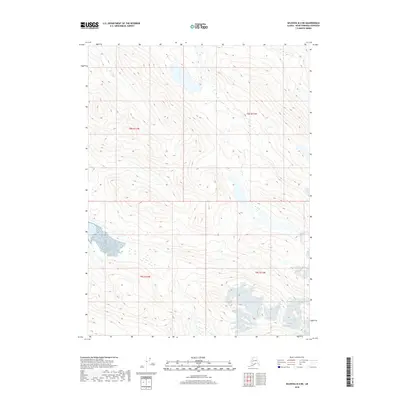
2018 Map of Seldovia B-4 NE
USGS Topo · Published 2018About this map
Southern Glacier dominates the lower elevations of this high-latitude terrain within the Kenai Peninsula. The landscape is defined by the survey lines of t8s r12w, t8s r11w, t9s r12w, and t9s r11w, which carve through a network of steep contours and glacial outflows. Unlike the coastal areas of the peninsula, this interior survey is characterized by its dramatic vertical relief and the presence of perennial ice fields. The lack of named roads or settlements underscores the wilderness character of this region during the early 21st century, focusing instead on the hydrological patterns of the glacial melt and the high ridgelines of the surrounding topography.
Find a feature on this map
5 named features on this map. Tap any name to fly to it.
Don’t see what you’re looking for? This feature index may not catch every label — zoom into the map to look around manually.
Map Details
Editions of this 2018 Seldovia B-4 NE Map
This is the sole edition of this map. No revisions or reprints were ever made.
Other maps of this area

1948 · Seldovia C-4
USGS Topo · 1:63,360

1949 · Seldovia C-4
USGS Topo · 1:62,500

1951 · Seldovia
USGS Topo · 1:250,000

1951 · Seldovia B-4
USGS Topo · 1:63,360

1951 · Seldovia B-3
USGS Topo · 1:63,360

1951 · Seldovia C-3
USGS Topo · 1:63,360

1952 · Seldovia B-3
USGS Topo · 1:63,360

1953 · Seldovia C-3
USGS Topo · 1:63,360

1953 · Seldovia B-4
USGS Topo · 1:63,360
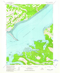
1961 · Seldovia C-4
USGS Topo · 1:63,360