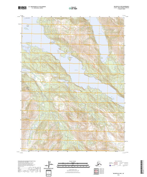
2024 Map of Seldovia B-4 NW
USGS Topo · Published 2024About this map
Seldovia Village sits at the edge of this coastal landscape on the Kenai Peninsula, where the waters of Jakolof Bay and Tutka Bay carve deep into the shoreline. This modern survey illustrates the complex topography of the Kenai Mountains, dominated by the prominent Grace Ridge. Much of the area is protected as part of the Alaska Maritime National Wildlife Refuge, which includes numerous coastal features like the Herring Islands and Aleutika Island.
Find a feature on this map
23 named features on this map. Tap any name to fly to it.
Don’t see what you’re looking for? This feature index may not catch every label — zoom into the map to look around manually.
Map Details
Editions of this 2024 Seldovia B-4 NW Map
This is the sole edition of this map. No revisions or reprints were ever made.
Other maps of this area

1946 · Seldovia C-5
USGS Topo · 1:63,360

1948 · Seldovia C-4
USGS Topo · 1:63,360

1949 · Seldovia C-4
USGS Topo · 1:62,500

1951 · Seldovia C-5
USGS Topo · 1:63,360

1951 · Seldovia
USGS Topo · 1:250,000

1951 · Seldovia B-5
USGS Topo · 1:63,360

1951 · Seldovia B-4
USGS Topo · 1:63,360

1953 · Seldovia B-4
USGS Topo · 1:63,360

1953 · Seldovia B-5
USGS Topo · 1:63,360

1961 · Seldovia C-5
USGS Topo · 1:63,360