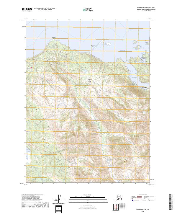
2024 Map of Seldovia B-5 NE
USGS Topo · Published 2024About this map
Seldovia Village and its surrounding coastal environment define this 2024 survey of the Kenai Peninsula. The landscape is deeply influenced by the tidal reach of Kasitsna Bay and Jakolof Bay, where geographic features like MacDonald Spit and Barabara Point segment the shoreline. A network of local roads such as Jakalof Bay Road and Fritz Road connect the residential developments and private airstrips, including Bootleggers Cove Airport and Jakolof Bay Airport, to the waterfront.
Find a feature on this map
27 named features on this map. Tap any name to fly to it.
Don’t see what you’re looking for? This feature index may not catch every label — zoom into the map to look around manually.
Map Details
Editions of this 2024 Seldovia B-5 NE Map
This is the sole edition of this map. No revisions or reprints were ever made.
Other maps of this area

1946 · Seldovia C-5
USGS Topo · 1:63,360

1948 · Seldovia C-4
USGS Topo · 1:63,360

1949 · Seldovia C-4
USGS Topo · 1:62,500

1951 · Seldovia C-5
USGS Topo · 1:63,360

1951 · Seldovia
USGS Topo · 1:250,000

1951 · Seldovia B-5
USGS Topo · 1:63,360

1951 · Seldovia B-4
USGS Topo · 1:63,360

1953 · Seldovia B-4
USGS Topo · 1:63,360

1953 · Seldovia B-5
USGS Topo · 1:63,360

1961 · Seldovia C-5
USGS Topo · 1:63,360