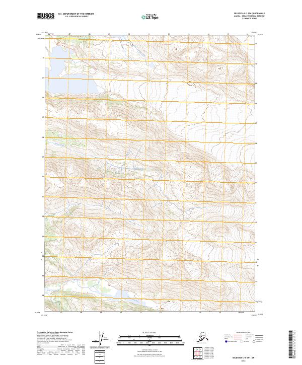
2024 Map of Seldovia C-3 SW
USGS Topo · Published 2024About this map
Glacial waters and protected wilderness define this portion of the Kenai Peninsula. The landscape is dominated by the Kenai Wilderness (Andrew Simons Unit) and the Kenai National Wildlife Refuge, where high-elevation terrain gives way to significant drainage systems. The southern portion of the sheet is marked by the broad path of the Wosnesenski River, while the northern reaches include the headwaters of Humpy Creek and Halibut Creek. Access into this backcountry is traced by the Emerald Lake Trl and the Blue Ice Trl, which navigate the steep topography near the ice fields. This 2024 survey documents a region where human infrastructure is nearly absent, restricted to these primitive trails that serve as the only routes through the expansive protected habitats.
Find a feature on this map
13 named features on this map. Tap any name to fly to it.
Don’t see what you’re looking for? This feature index may not catch every label — zoom into the map to look around manually.
Map Details
Editions of this 2024 Seldovia C-3 SW Map
This is the sole edition of this map. No revisions or reprints were ever made.
Other maps of this area

1948 · Seldovia C-4
USGS Topo · 1:63,360

1949 · Seldovia C-4
USGS Topo · 1:62,500

1951 · Seldovia
USGS Topo · 1:250,000

1951 · Seldovia B-4
USGS Topo · 1:63,360

1951 · Seldovia B-3
USGS Topo · 1:63,360

1951 · Seldovia C-3
USGS Topo · 1:63,360

1952 · Seldovia B-3
USGS Topo · 1:63,360

1953 · Seldovia C-3
USGS Topo · 1:63,360

1953 · Seldovia B-4
USGS Topo · 1:63,360
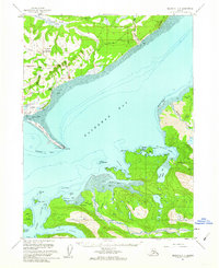
1961 · Seldovia C-4
USGS Topo · 1:63,360