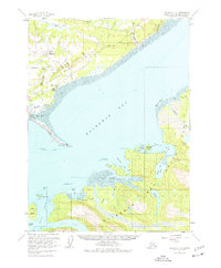
1961 Map of Seldovia C-4
USGS Topo · Published 1977About this map
Homer serves as the focal point of this coastal survey, situated where the Sterling Highway meets the base of the prominent Homer Spit. The 1961 field data reveals a growing maritime and aviation hub, featuring the Municipal Airport and numerous radio towers overlooking Coal Bay. Across the expanse of Kachemak Bay, the landscape shifts to the protected wilderness of Kachemak Bay State Park, where the massive Grewingk Glacier feeds into Grewingk Creek.
Find a feature on this map
57 named features on this map. Tap any name to fly to it.
Don’t see what you’re looking for? This feature index may not catch every label — zoom into the map to look around manually.
Map Details
Editions of this 1961 Seldovia C-4 Map
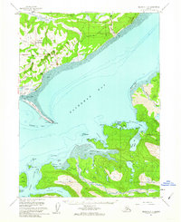
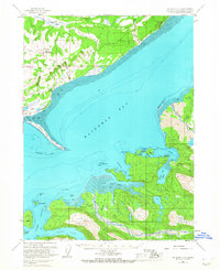
3 editions found
Other maps of this area

1946 · Seldovia C-5
USGS Topo · 1:63,360

1946 · Seldovia D-5
USGS Topo · 1:63,360

1948 · Seldovia C-4
USGS Topo · 1:63,360

1949 · Seldovia C-4
USGS Topo · 1:62,500

1949 · Seldovia D-4
USGS Topo · 1:63,360

1951 · Seldovia C-5
USGS Topo · 1:63,360

1951 · Seldovia D-5
USGS Topo · 1:63,360

1951 · Seldovia D-4
USGS Topo · 1:63,360

1951 · Seldovia
USGS Topo · 1:250,000

1951 · Seldovia D-3
USGS Topo · 1:63,360