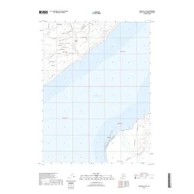
2018 Map of Seldovia C-4 NE
USGS Topo · Published 2018About this map
Fritz Creek and the surrounding coastal bluffs of the Kenai Peninsula are detailed in this modern survey, which showcases a landscape defined by its network of local roads and glacier-fed waters. The area's settlement pattern is visible through family-named routes and specialized thoroughfares such as Big Dipper Ranch Rd, Kilcher Road, and Guffers Road, branching off from the primary arterial East End Road.
Find a feature on this map
35 named features on this map. Tap any name to fly to it.
Don’t see what you’re looking for? This feature index may not catch every label — zoom into the map to look around manually.
Map Details
Editions of this 2018 Seldovia C-4 NE Map
This is the sole edition of this map. No revisions or reprints were ever made.
Other maps of this area

1948 · Seldovia C-4
USGS Topo · 1:63,360

1949 · Seldovia C-4
USGS Topo · 1:62,500

1949 · Seldovia D-4
USGS Topo · 1:63,360

1951 · Seldovia D-4
USGS Topo · 1:63,360

1951 · Seldovia
USGS Topo · 1:250,000

1951 · Seldovia D-3
USGS Topo · 1:63,360

1951 · Seldovia C-3
USGS Topo · 1:63,360

1953 · Seldovia C-3
USGS Topo · 1:63,360
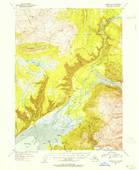
1953 · Seldovia D-3
USGS Topo · 1:63,360
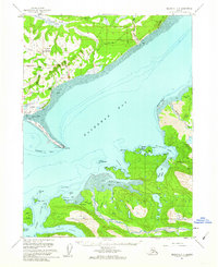
1961 · Seldovia C-4
USGS Topo · 1:63,360