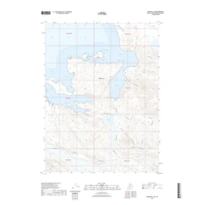
2018 Map of Seldovia C-4 SE
USGS Topo · Published 2018About this map
Halibut Cove sits at the heart of this coastal Alaskan landscape, where the waters of the Pacific Ocean meet a labyrinth of inlets and islands. The settlement is sheltered behind Ismailof Island, connected to the mainland via The Narrows and protected by the prominent Peterson Point. This map illustrates the complex relationship between the shoreline and the high-elevation terrain of the Kenai Peninsula, where trails like the Glacier Lake Trail and the Poot Peak S Route navigate through deep valleys and sharp ridges.
Find a feature on this map
40 named features on this map. Tap any name to fly to it.
Don’t see what you’re looking for? This feature index may not catch every label — zoom into the map to look around manually.
Map Details
Editions of this 2018 Seldovia C-4 SE Map
This is the sole edition of this map. No revisions or reprints were ever made.
Other maps of this area

1948 · Seldovia C-4
USGS Topo · 1:63,360

1949 · Seldovia C-4
USGS Topo · 1:62,500

1951 · Seldovia
USGS Topo · 1:250,000

1951 · Seldovia B-4
USGS Topo · 1:63,360

1951 · Seldovia B-3
USGS Topo · 1:63,360

1951 · Seldovia C-3
USGS Topo · 1:63,360

1952 · Seldovia B-3
USGS Topo · 1:63,360

1953 · Seldovia C-3
USGS Topo · 1:63,360

1953 · Seldovia B-4
USGS Topo · 1:63,360
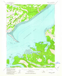
1961 · Seldovia C-4
USGS Topo · 1:63,360