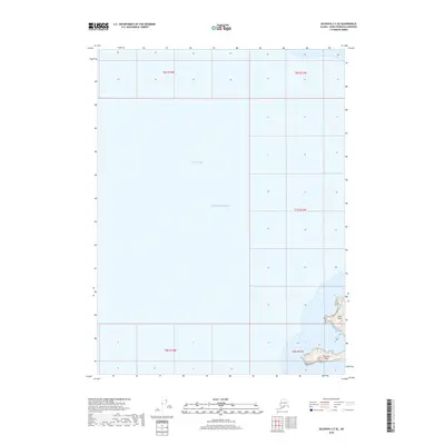
2018 Map of Seldovia C-5 SE
USGS Topo · Published 2018About this map
Yukon Island and Hesketh Island anchor the southeastern corner of this maritime chart, where the waters of Kachemak Bay meet the Pacific Ocean. This coastal survey highlights the remote and rugged shoreline of the Kenai Peninsula, emphasizing the complex hydrography and bathymetry of the region. The map is defined by vast stretches of open water, illustrating the navigational challenges and geographical isolation of these subarctic islands. Researchers of Alaskan maritime history or land division will find the Public Land Survey System boundaries, including t8s r13w, useful for tracing historical property lines and the early organization of the Kenai Peninsula Borough.
Find a feature on this map
9 named features on this map. Tap any name to fly to it.
Don’t see what you’re looking for? This feature index may not catch every label — zoom into the map to look around manually.
Map Details
Editions of this 2018 Seldovia C-5 SE Map
This is the sole edition of this map. No revisions or reprints were ever made.
Other maps of this area

1946 · Seldovia C-5
USGS Topo · 1:63,360

1948 · Seldovia C-4
USGS Topo · 1:63,360

1949 · Seldovia C-4
USGS Topo · 1:62,500

1951 · Seldovia C-5
USGS Topo · 1:63,360

1951 · Seldovia
USGS Topo · 1:250,000

1951 · Seldovia B-5
USGS Topo · 1:63,360

1951 · Seldovia B-4
USGS Topo · 1:63,360

1953 · Seldovia B-4
USGS Topo · 1:63,360

1953 · Seldovia B-5
USGS Topo · 1:63,360

1961 · Seldovia C-5
USGS Topo · 1:63,360