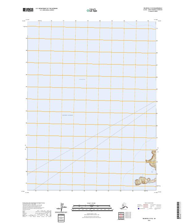
2024 Map of Seldovia C-5 SE
USGS Topo · Published 2024About this map
Yukon Island and Hesketh Island sit at the southern entrance to Kachemak Bay, forming a critical boundary where the sheltered bay waters meet the open Pacific Ocean. This coastal landscape is defined by the Alaska Maritime National Wildlife Refuge, which encompasses the island terrain and surrounding waters of the Kenai Peninsula. The map illustrates a largely maritime environment where the rugged island outcroppings serve as essential habitat. The presence of the wildlife refuge indicates the transition from the relatively protected waters of the inner bay to the more exposed marine environment of the Gulf of Alaska, providing a modern spatial record of protected Alaskan shorelines.
Find a feature on this map
10 named features on this map. Tap any name to fly to it.
Don’t see what you’re looking for? This feature index may not catch every label — zoom into the map to look around manually.
Map Details
Editions of this 2024 Seldovia C-5 SE Map
This is the sole edition of this map. No revisions or reprints were ever made.
Other maps of this area

1946 · Seldovia C-5
USGS Topo · 1:63,360

1948 · Seldovia C-4
USGS Topo · 1:63,360

1949 · Seldovia C-4
USGS Topo · 1:62,500

1951 · Seldovia C-5
USGS Topo · 1:63,360

1951 · Seldovia
USGS Topo · 1:250,000

1951 · Seldovia B-5
USGS Topo · 1:63,360

1951 · Seldovia B-4
USGS Topo · 1:63,360

1953 · Seldovia B-4
USGS Topo · 1:63,360

1953 · Seldovia B-5
USGS Topo · 1:63,360

1961 · Seldovia C-5
USGS Topo · 1:63,360