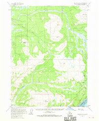
1961 Map of Seldovia D-4
USGS Topo · Published 1970About this map
Ninilchik Dome and the rising slopes of the Caribou Hills define the high country of the southern Kenai Peninsula in this mid-century topographic survey. The landscape is dominated by complex drainage systems, where the headwaters of Deep Creek and its North Fork flow alongside the winding path of the Anchor River. A lone Cabin near the southern boundary and a winding Tractor Trail in the southwest offer the only signs of human passage through this wilderness.
Find a feature on this map
28 named features on this map. Tap any name to fly to it.
Don’t see what you’re looking for? This feature index may not catch every label — zoom into the map to look around manually.
Map Details
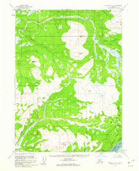
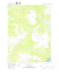
Editions of this 1961 Seldovia D-4 Map
3 editions found
Other maps of this area

1944 · Kenai
USGS Topo · 1:250,000

1946 · Seldovia C-5
USGS Topo · 1:63,360

1946 · Seldovia D-5
USGS Topo · 1:63,360

1948 · Seldovia C-4
USGS Topo · 1:63,360

1949 · Seldovia C-4
USGS Topo · 1:62,500

1949 · Seldovia D-4
USGS Topo · 1:63,360

1950 · Kenai
USGS Topo · 1:250,000

1951 · Seldovia C-5
USGS Topo · 1:63,360

1951 · Seldovia D-5
USGS Topo · 1:63,360

1951 · Seldovia D-4
USGS Topo · 1:63,360