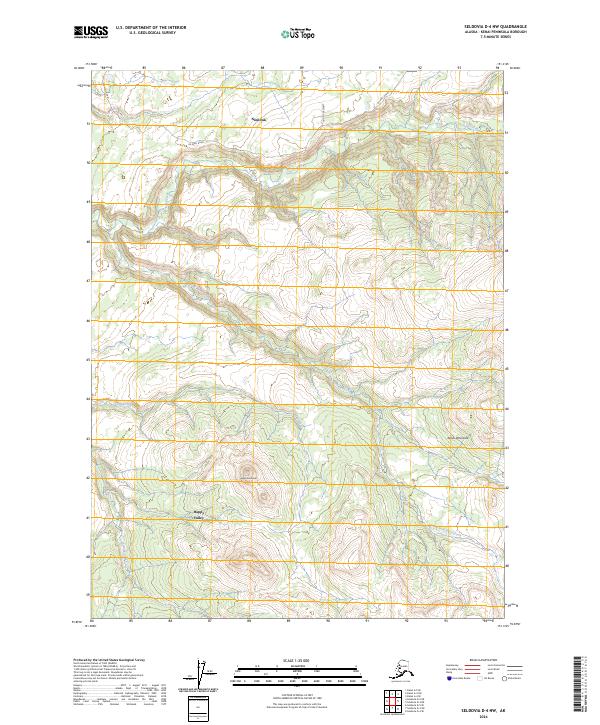
2024 Map of Seldovia D-4 NW
USGS Topo · Published 2024About this map
The interior of the Kenai Peninsula near the Cook Inlet coast is defined by the drainage systems of several significant salmon-bearing waterways. Ninilchik and Happy Valley mark the primary areas of settlement on this 2024 survey, situated where the terrain transitions from coastal lowlands into the rising uplands of the Ninilchik Dome. The landscape is etched by the meandering courses of Deep Creek, the South Fork Deep Creek, and Stariski Creek, which flow through a network of sections defined by the Public Land Survey System. Local infrastructure is concentrated in the northern portion of the map, centered around Oil Well Road and Hostetter Street, reflecting the region's historic and modern ties to natural resource management and rural Alaskana life.
Find a feature on this map
14 named features on this map. Tap any name to fly to it.
Don’t see what you’re looking for? This feature index may not catch every label — zoom into the map to look around manually.
Map Details
Editions of this 2024 Seldovia D-4 NW Map
This is the sole edition of this map. No revisions or reprints were ever made.
Other maps of this area

1944 · Kenai
USGS Topo · 1:250,000

1946 · Seldovia D-5
USGS Topo · 1:63,360

1949 · Seldovia D-4
USGS Topo · 1:63,360

1950 · Kenai
USGS Topo · 1:250,000

1951 · Seldovia D-5
USGS Topo · 1:63,360

1951 · Seldovia D-4
USGS Topo · 1:63,360

1951 · Seldovia
USGS Topo · 1:250,000

1951 · Kenai A-5
USGS Topo · 1:63,360

1951 · Kenai A-4
USGS Topo · 1:63,360

1952 · Kenai A-5
USGS Topo · 1:63,360