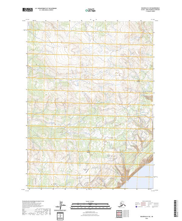
2024 Map of Seldovia D-4 SE
USGS Topo · Published 2024About this map
The Kenai Peninsula coastline meets the northeastern waters of Kachemak Bay in this detailed topographic study. The landscape is defined by the convergence of significant waterways, including the Anchor River and Fox River, which drain through complex wetlands and high-elevation ridges. Settled areas are concentrated along the southern coast, where East End Road provides the primary transit artery, connecting local landmarks like the Eastland Airport and the Glacierview Strip.
Find a feature on this map
45 named features on this map. Tap any name to fly to it.
Don’t see what you’re looking for? This feature index may not catch every label — zoom into the map to look around manually.
Map Details
Editions of this 2024 Seldovia D-4 SE Map
This is the sole edition of this map. No revisions or reprints were ever made.
Other maps of this area

1948 · Seldovia C-4
USGS Topo · 1:63,360

1949 · Seldovia C-4
USGS Topo · 1:62,500

1949 · Seldovia D-4
USGS Topo · 1:63,360

1951 · Seldovia D-4
USGS Topo · 1:63,360

1951 · Seldovia
USGS Topo · 1:250,000

1951 · Seldovia D-3
USGS Topo · 1:63,360

1951 · Seldovia C-3
USGS Topo · 1:63,360

1953 · Seldovia C-3
USGS Topo · 1:63,360
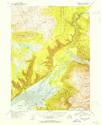
1953 · Seldovia D-3
USGS Topo · 1:63,360
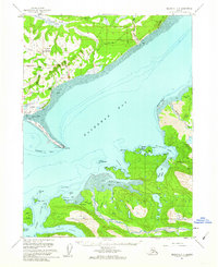
1961 · Seldovia C-4
USGS Topo · 1:63,360