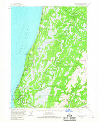
1961 Map of Seldovia D-5
USGS Topo · Published 1967About this map
Anchor Point serves as the southern focal point for this coastal survey of the western Kenai Peninsula, where the Anchor River meets the waters of the Cook Inlet. The early 1960s landscape is defined by the corridor of the Sterling Highway, which threads between the shoreline and the marshy interior. Evidence of the region's developing infrastructure is visible through the presence of a Radio Tower, an Oil Well, and the Stariski Campground near Cape Starichkof.
Find a feature on this map
22 named features on this map. Tap any name to fly to it.
Don’t see what you’re looking for? This feature index may not catch every label — zoom into the map to look around manually.
Map Details
Editions of this 1961 Seldovia D-5 Map
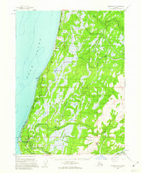
2 editions found
Other maps of this area

1944 · Kenai
USGS Topo · 1:250,000

1946 · Seldovia C-5
USGS Topo · 1:63,360

1946 · Seldovia D-5
USGS Topo · 1:63,360

1948 · Seldovia C-4
USGS Topo · 1:63,360

1949 · Seldovia C-4
USGS Topo · 1:62,500

1949 · Seldovia D-4
USGS Topo · 1:63,360

1950 · Kenai
USGS Topo · 1:250,000

1951 · Seldovia C-5
USGS Topo · 1:63,360

1951 · Seldovia D-5
USGS Topo · 1:63,360

1951 · Seldovia D-4
USGS Topo · 1:63,360