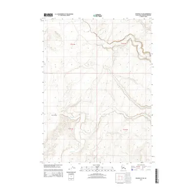
2014 Map of Seldovia D-5 NE
USGS Topo · Published 2014About this map
The Chakok River flows through the southern reaches of this Kenai Peninsula terrain, part of a complex hydrologic network defined by several prominent drainages. In the northern and central sections, the landscape is carved by the winding paths of Deep Cr, Stariski Cr, and Clam Cr. This 2014 survey documents a largely undeveloped wilderness area, with the exception of Tim Avenue providing one of the few named access points in the western portion of the quadrangle. The map detail reflects the intricate topography of the western Kenai Peninsula, showing how the smaller tributaries of Happy Cr and its neighbors interact with the elevation contours before reaching the coast just outside these boundaries.
Find a feature on this map
11 named features on this map. Tap any name to fly to it.
Don’t see what you’re looking for? This feature index may not catch every label — zoom into the map to look around manually.
Map Details
Editions of this 2014 Seldovia D-5 NE Map
This is the sole edition of this map. No revisions or reprints were ever made.
Other maps of this area

1944 · Kenai
USGS Topo · 1:250,000

1946 · Seldovia D-5
USGS Topo · 1:63,360

1949 · Seldovia D-4
USGS Topo · 1:63,360

1950 · Kenai
USGS Topo · 1:250,000

1951 · Seldovia D-5
USGS Topo · 1:63,360

1951 · Seldovia D-4
USGS Topo · 1:63,360

1951 · Seldovia
USGS Topo · 1:250,000

1951 · Kenai A-5
USGS Topo · 1:63,360

1951 · Kenai A-4
USGS Topo · 1:63,360

1952 · Kenai A-5
USGS Topo · 1:63,360