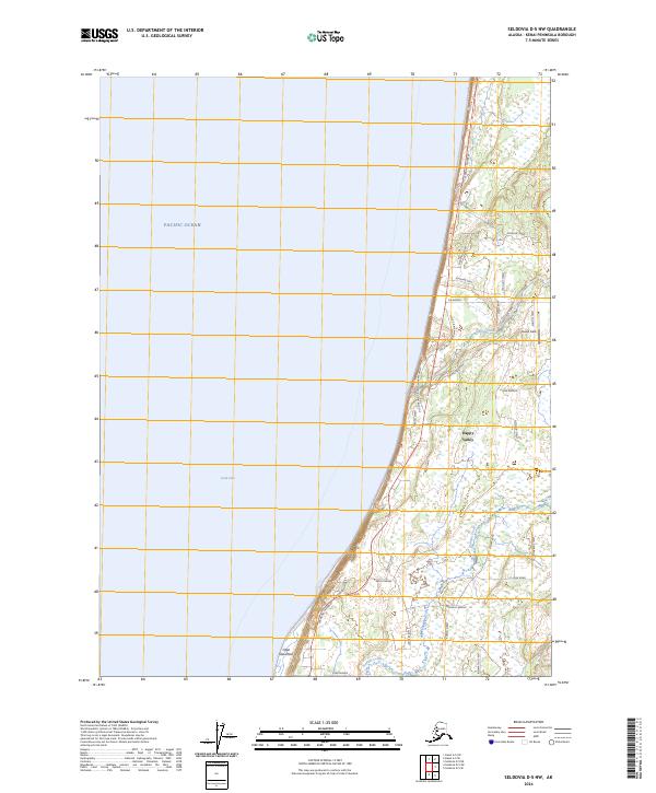
2024 Map of Seldovia D-5 NW
USGS Topo · Published 2024About this map
Happy Valley sits along the western coast of the Kenai Peninsula, overlooking the meeting point of Pacific Ocean and Cook Inlet. This maritime landscape is defined by the sharp transition from the coastal bluffs at Cape Starichkof to the organized residential grid that fans out east of the Sterling Highway. The area’s geography is shaped by drainage systems like Happy Creek and Stariski Creek, which cut through the terrain toward the shoreline.
Find a feature on this map
36 named features on this map. Tap any name to fly to it.
Don’t see what you’re looking for? This feature index may not catch every label — zoom into the map to look around manually.
Map Details
Editions of this 2024 Seldovia D-5 NW Map
This is the sole edition of this map. No revisions or reprints were ever made.
Other maps of this area

1944 · Kenai
USGS Topo · 1:250,000

1946 · Seldovia D-5
USGS Topo · 1:63,360

1950 · Kenai
USGS Topo · 1:250,000

1951 · Seldovia D-5
USGS Topo · 1:63,360

1951 · Seldovia
USGS Topo · 1:250,000

1951 · Kenai A-5
USGS Topo · 1:63,360

1952 · Kenai A-5
USGS Topo · 1:63,360

1958 · Kenai
USGS Topo · 1:250,000
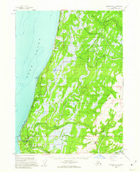
1961 · Seldovia D-5
USGS Topo · 1:63,360

1963 · Seldovia
USGS Topo · 1:250,000