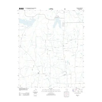
2013 Map of Selfs
USGS Topo · Published 2013About this map
Coffee Mill Lake and Lake Crockett anchor the northern landscape of this Fannin County region, where the terrain is defined by a dense network of creek drainages including Bois d'Arc Cr and Honey Grove Cr. The settlement pattern is characterized by small, dispersed communities such as Allens Chapel, Allen Point, Selfs, and Sash, each linked by a grid of county roads and farm-to-market routes like FM 100. This area preserves a high concentration of local heritage sites, with several small burial grounds including Wilks Cem, Shiloh Cem, and New Salem Cem situated near these rural hubs. The convergence of multiple watercourses, such as Spoonamore Cr and Allens Cr, suggests a historical reliance on these natural drainage basins for the agricultural development of northeastern Texas. The geography here reflects a stable rural identity where family-named landmarks and small-scale community centers remain the primary points of orientation.
Find a feature on this map
57 named features on this map. Tap any name to fly to it.
Don’t see what you’re looking for? This feature index may not catch every label — zoom into the map to look around manually.
Map Details
Editions of this 2013 Selfs Map
This is the sole edition of this map. No revisions or reprints were ever made.
Other maps of this area

1903 · Paris
USGS Topo · 1:125,000

1947 · Honey Grove
USGS Topo · 1:62,500

1948 · Direct
USGS Topo · 1:62,500

1949 · Direct
USGS Topo · 1:62,500

1949 · Honey Grove
USGS Topo · 1:62,500

1953 · Texarkana
USGS Topo · 1:250,000

1954 · Sherman
USGS Topo · 1:250,000

1956 · Texarkana
USGS Topo · 1:250,000

1957 · Wade
USGS Topo · 1:62,500

1958 · Bonham
USGS Topo · 1:62,500