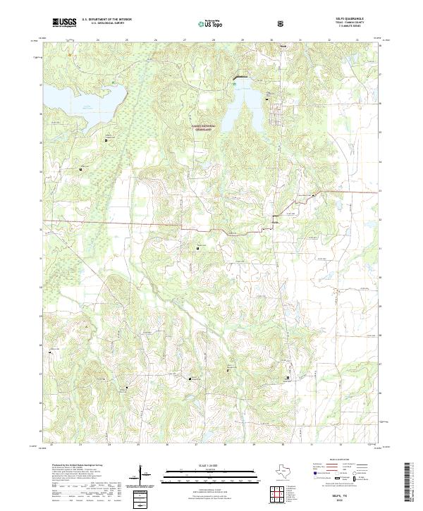
2022 Map of Selfs
USGS Topo · Published 2022About this map
The Caddo National Grassland dominates this portion of Fannin County, where the landscape is defined by the headwaters of numerous creeks and the presence of significant reservoirs. Lake Crockett and Coffee Mill Lake serve as central landmarks in the north, surrounded by a network of rural roads such as FM 409 and FM 100. The small settlements of Sash and Selfs anchor the community, which is characterized by dispersed family homesteads and a high density of burial grounds.
Find a feature on this map
67 named features on this map. Tap any name to fly to it.
Don’t see what you’re looking for? This feature index may not catch every label — zoom into the map to look around manually.
Map Details
Editions of this 2022 Selfs Map
This is the sole edition of this map. No revisions or reprints were ever made.
Other maps of this area

1903 · Paris
USGS Topo · 1:125,000

1947 · Honey Grove
USGS Topo · 1:62,500

1948 · Direct
USGS Topo · 1:62,500

1949 · Direct
USGS Topo · 1:62,500

1949 · Honey Grove
USGS Topo · 1:62,500

1953 · Texarkana
USGS Topo · 1:250,000

1954 · Sherman
USGS Topo · 1:250,000

1956 · Texarkana
USGS Topo · 1:250,000

1957 · Wade
USGS Topo · 1:62,500

1958 · Bonham
USGS Topo · 1:62,500