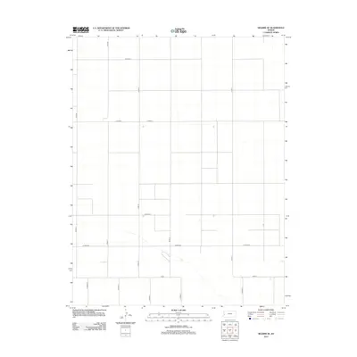
2012 Map of Selkirk SE
USGS Topo · Published 2012About this map
Tribune Township in the high plains of western Kansas is defined by a rigid rectilinear grid of section roads and seasonal watercourses. The landscape is dominated by the geometric precision of agricultural land divisions, where major arteries like Co Road X and Co Road Z stretch across the flat horizon. This 2012 survey illustrates the modern layout of rural Greeley County, showing how the local transport network evolved around the cardinal directions. Local navigation relies on the systematic numbering of county roads, including north-south corridors like Co Rd-24 and Co Rd-25, which intersect with east-west routes such as Co Road DD. A diagonal creek bed provides the only break in the linear pattern of the terrain, cutting through the southeastern corner near Co Rd-1.
Find a feature on this map
13 named features on this map. Tap any name to fly to it.
Don’t see what you’re looking for? This feature index may not catch every label — zoom into the map to look around manually.
Map Details
Editions of this 2012 Selkirk SE Map
This is the sole edition of this map. No revisions or reprints were ever made.
Other maps of this area

1955 · Scott City
USGS Topo · 1:250,000

1958 · Scott City
USGS Topo · 1:250,000

1965 · Leoti 3 NW
USGS Topo · 1:24,000

1966 · Tribune 4 NW
USGS Topo · 1:24,000

1966 · Tribune 4 NE
USGS Topo · 1:24,000

1970 · Selkirk SW
USGS Topo · 1:24,000

1970 · Selkirk SE
USGS Topo · 1:24,000

1970 · Selkirk
USGS Topo · 1:24,000

1970 · Leoti NW
USGS Topo · 1:24,000

1970 · Selkirk NW
USGS Topo · 1:24,000