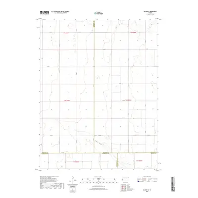
2018 Map of Selkirk SE
USGS Topo · Published 2018About this map
James Draw winds through this section of the High Plains, serving as the primary natural drainage in a landscape otherwise defined by the rigid geometry of the Public Land Survey System. The map highlights the intersection of four Kansas counties—Greeley, Wichita, Hamilton, and Kearny—reflecting the administrative divisions of this agricultural region. The terrain is structured by an extensive grid of section-line roads, including Co Rd 26 and Co Rd X, which facilitate transport across the sprawling farm and ranch lands. These thoroughfares, such as Road W and Rd Z, trace the historical development of the local township and range system, showing how the land was partitioned for settlement and industry during the twentieth century. This survey documents the persistent rural character and the essential infrastructure of western Kansas's open country.
Find a feature on this map
35 named features on this map. Tap any name to fly to it.
Don’t see what you’re looking for? This feature index may not catch every label — zoom into the map to look around manually.
Map Details
Editions of this 2018 Selkirk SE Map
This is the sole edition of this map. No revisions or reprints were ever made.
Other maps of this area

1955 · Scott City
USGS Topo · 1:250,000

1958 · Scott City
USGS Topo · 1:250,000

1965 · Leoti 3 NW
USGS Topo · 1:24,000

1966 · Tribune 4 NW
USGS Topo · 1:24,000

1966 · Tribune 4 NE
USGS Topo · 1:24,000

1970 · Selkirk SW
USGS Topo · 1:24,000

1970 · Selkirk SE
USGS Topo · 1:24,000

1970 · Selkirk
USGS Topo · 1:24,000

1970 · Leoti NW
USGS Topo · 1:24,000

1970 · Selkirk NW
USGS Topo · 1:24,000