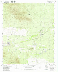
1979 Map of Sells East
USGS Topo · Published 1979About this map
Sells serves as a primary hub within the Papago Indian Reservation during the late 1970s, anchoring a landscape where desert washes and mountain ranges dictate the layout of community and industry. Education and faith are centered at landmarks like Baboquivari High School and Our Lady of Lourdes Mission, while smaller settlements such as Chiawuli Tak, Ali Chukson, and Ali Molina are connected by roads that skirt the Baboquivari Valley. To the north, the South Comobabi Mountains rise sharply, dotted with evidence of earlier mineral exploration at the Green Mine and Jaeger Mine. The reliance on local water sources is evident through the naming of various wells, including Rattlesnake Well and Presbyterian Well, which supported the livestock and small-scale agriculture necessary in the arid Sells Valley Wash corridor.
Find a feature on this map
31 named features on this map. Tap any name to fly to it.
Don’t see what you’re looking for? This feature index may not catch every label — zoom into the map to look around manually.
Map Details
Editions of this 1979 Sells East Map
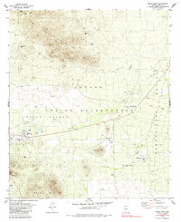
2 editions found
Other maps of this area

1934 · Silver Bell
USGS Topo · 1:125,000

1937 · Comobabi
USGS Topo · 1:48,000

1938 · San Vicente
USGS Topo · 1:62,500

1941 · San Vicente
USGS Topo · 1:62,500

1941 · Baboquivari Peak
USGS Topo · 1:62,500

1941 · Sells
USGS Topo · 1:62,500

1942 · San Vicente
USGS Topo · 1:62,500

1942 · Comobabi
USGS Topo · 1:62,500

1943 · Sells
USGS Topo · 1:62,500

1943 · Fresnal
USGS Topo · 1:125,000