
1943 Map of Sells
USGS Topo · Published 1943About this map
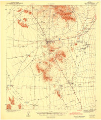
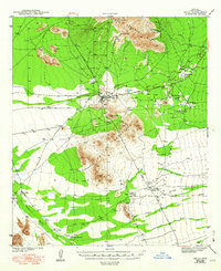
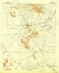
The Papago Indian Reservation centers on the settlement of Sells, which serves as a vital hub along the Ajo-Tucson Highway during the early 1940s. The landscape is defined by the massive Comobabi Mts and Artesa Mountains, where extractive industry is marked by the Green Mine, Midnite Mine, and Jaeger Mine.
Find a feature on this map
26 named features on this map. Tap any name to fly to it.
Don’t see what you’re looking for? This feature index may not catch every label — zoom into the map to look around manually.
Map Details
Editions of this 1943 Sells Map
4 editions found
Other maps of this area

1934 · Silver Bell
USGS Topo · 1:125,000

1937 · Comobabi
USGS Topo · 1:48,000

1938 · San Vicente
USGS Topo · 1:62,500

1941 · Presumido Peak
USGS Topo · 1:62,500

1941 · San Vicente
USGS Topo · 1:62,500

1941 · Baboquivari Peak
USGS Topo · 1:62,500

1941 · Vamori
USGS Topo · 1:62,500

1941 · Sells
USGS Topo · 1:62,500

1942 · San Vicente
USGS Topo · 1:62,500

1942 · Comobabi
USGS Topo · 1:62,500