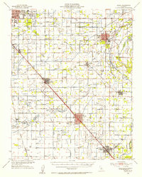
1946 Map of Selma
USGS Topo · Published 1954About this map
Agricultural development and irrigation networks dominate the landscape of the San Joaquin Valley in the mid-1940s, centered around the growing hub of Selma. An intricate grid of canals and ditches, such as the Fowler Switch Canal and Kirby Canal, feeds the surrounding vineyards and orchards, revealing the engineered hydrology required to sustain the region's economy. Major transportation arteries like the Southern Pacific and Atchison Topeka and Santa Fe railroads facilitate the movement of goods from settlements like Sanger, Parlier, and Fowler.
Find a feature on this map
99 named features on this map. Tap any name to fly to it.
Don’t see what you’re looking for? This feature index may not catch every label — zoom into the map to look around manually.
Map Details
Editions of this 1946 Selma Map
2 editions found
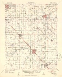
Other maps of this area

1920 · Orangedale School
USGS Topo · 1:24,000

1921 · Bullard
USGS Topo · 1:31,680

1922 · Round Mountain
USGS Topo · 1:31,680

1922 · Trimmer
USGS Topo · 1:96,000

1923 · Malaga
USGS Topo · 1:31,680

1923 · Orangedale School
USGS Topo · 1:31,680

1923 · Fresno
USGS Topo · 1:31,680

1923 · Clovis
USGS Topo · 1:31,680

1923 · Wahtoke
USGS Topo · 1:31,680

1923 · Sanger
USGS Topo · 1:31,680