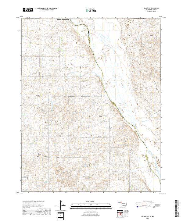
2022 Map of Selman NW
USGS Topo · Published 2022About this map
The Cimarron River carves a significant diagonal path through this corner of Northwest Oklahoma, defining the border between Woods and Harper counties. This landscape is characterized by a sparse, rural grid of section roads and water management features essential for life on the plains. The Zion Lutheran Cem stands as a focal point for genealogical interest, marking a established community presence amidst the surrounding rangeland. Water is a primary feature of the terrain, with Lodge Pole Cr and Anderson Cr feeding toward the main river valley, while small impoundments like Miller Lake and 059047 Reservoir dot the sections. The map preserves a clear view of the public land survey system divisions and the local road network, including routes like NS 200 RD and Ew 7 RD that connect isolated homesteads and pastures.
Find a feature on this map
44 named features on this map. Tap any name to fly to it.
Don’t see what you’re looking for? This feature index may not catch every label — zoom into the map to look around manually.
Map Details
Editions of this 2022 Selman NW Map
This is the sole edition of this map. No revisions or reprints were ever made.
Other maps of this area

1892 · Coldwater
USGS Topo · 1:125,000

1894 · Sitka
USGS Topo · 1:62,500

1896 · Ashland
USGS Topo · 1:125,000

1955 · Woodward
USGS Topo · 1:250,000

1955 · Pratt
USGS Topo · 1:250,000

1958 · Woodward
USGS Topo · 1:250,000

1959 · Pratt
USGS Topo · 1:250,000

1970 · Lookout
USGS Topo · 1:24,000

1970 · Buffalo SE
USGS Topo · 1:24,000

1970 · Selman NW
USGS Topo · 1:24,000