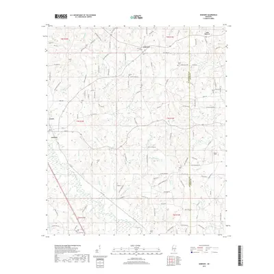
2018 Map of Seminary
USGS Topo · Published 2018About this map
Okatoma Creek flows southward through this landscape, defining the drainage patterns for a network of tributaries such as Military Br and Bullock Cr. The settlement of Seminary sits near the southwestern corner, while Oak Bowery and Eminence occupy the northern reaches of the quadrangle. This area of Mississippi is characterized by a high density of small family and community burial grounds, including Eminence Cem, Bethel Cem, and Crosby Cem, reflecting a long-standing pattern of rural land ownership. A complex web of local roads, many bearing family names like Abercrombie Knight Rd and Stuart Leggett Rd, connects the scattered farms and homesteads. Local worship is centered at sites like Lebanon Church and Union Church, which serve as landmarks along the winding creek branches and hillsides.
Find a feature on this map
135 named features on this map. Tap any name to fly to it.
Don’t see what you’re looking for? This feature index may not catch every label — zoom into the map to look around manually.
Map Details
Editions of this 2018 Seminary Map
This is the sole edition of this map. No revisions or reprints were ever made.
Other maps of this area

1953 · Hattiesburg
USGS Topo · 1:250,000

1958 · Hattiesburg
USGS Topo · 1:250,000

1964 · Seminary
USGS Topo · 1:24,000

1965 · Hebron
USGS Topo · 1:24,000

1965 · Eastabuchie
USGS Topo · 1:24,000

1965 · Hot Coffee
USGS Topo · 1:24,000

1965 · Moselle
USGS Topo · 1:24,000

1965 · Sanford
USGS Topo · 1:24,000

1974 · Sumrall
USGS Topo · 1:24,000

1974 · Williamsburg
USGS Topo · 1:24,000