2024 Map of Seminary
USGS Topo · Published 2024About this map
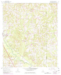
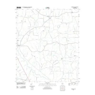
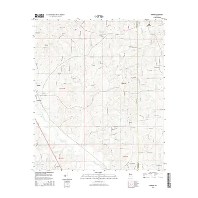
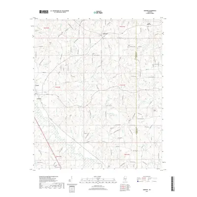
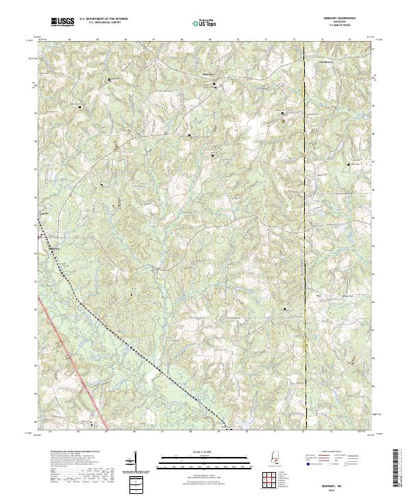
Okatoma Creek carves a central path through this portion of Mississippi, defining a landscape of numerous small tributaries such as Double Branch and Military Branch. The settlement of Seminary serves as a local hub near Seminary Falls, while the smaller communities of Eminence and Oak Bowery sit to the north. This modern survey reflects a deeply established rural character, where land ownership and community identity are still tied to family-named landmarks and historical burial grounds. Genealogists will find a dense distribution of rural cemeteries, including Union Senior Cem and Eminence Cem, many connected by a network of local routes like Willow Grove Church Rd. The map also captures specialized terrain features like the Gobby Reed Brake and the small airstrip at Morgan Field, illustrating the area's mix of traditional forestry and modern transit.
Find a feature on this map
133 named features on this map. Tap any name to fly to it.
Don’t see what you’re looking for? This feature index may not catch every label — zoom into the map to look around manually.
Map Details
Editions of this 2024 Seminary Map
This is the sole edition of this map. No revisions or reprints were ever made.
Historical Maps of Seminary Through Time
6 maps found